|
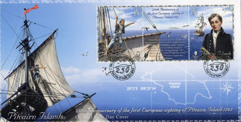
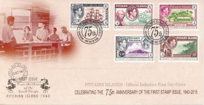
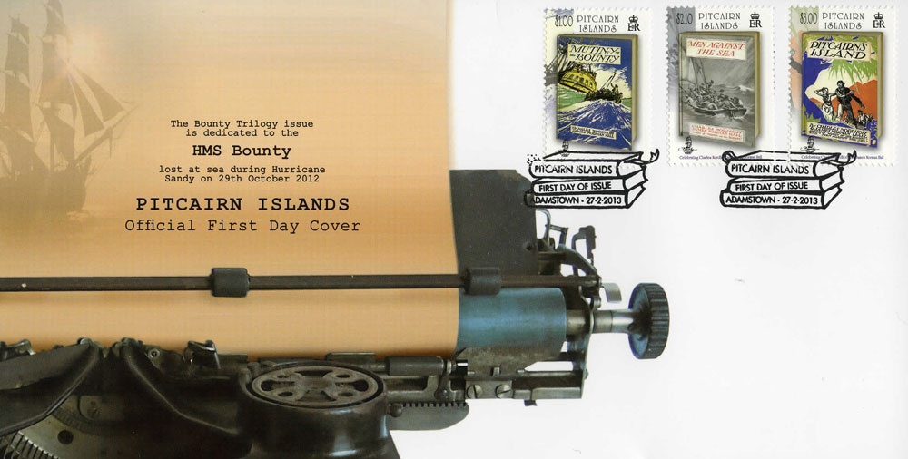
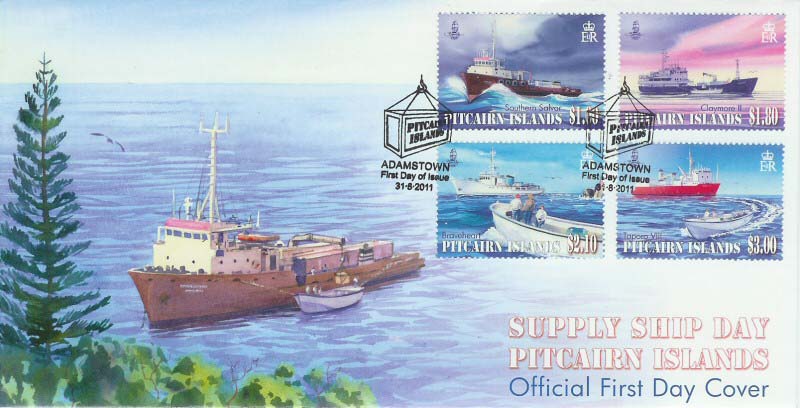
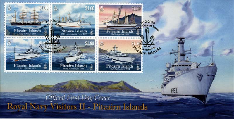
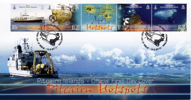
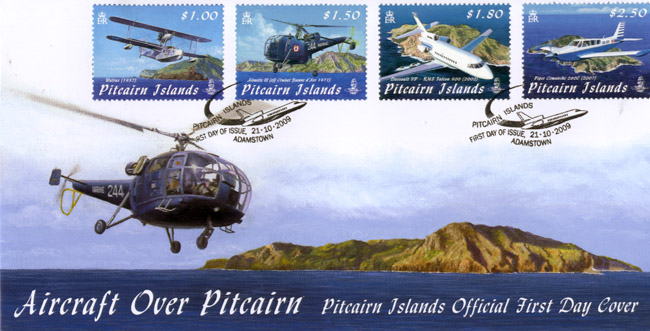
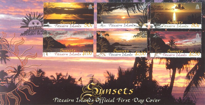
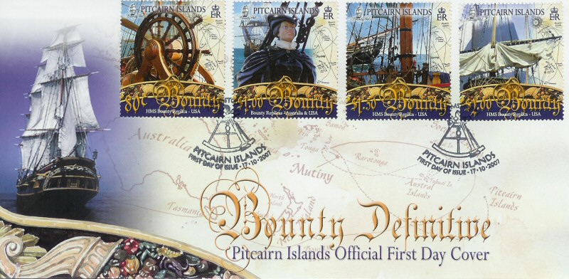
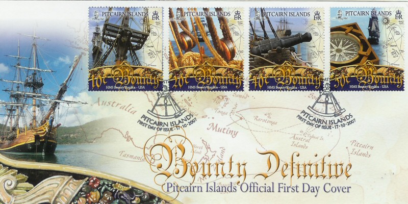
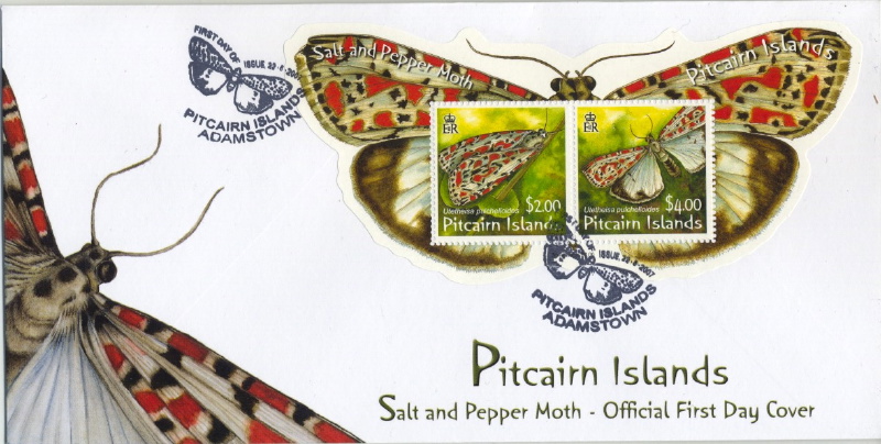
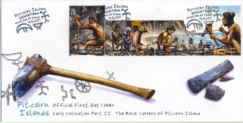
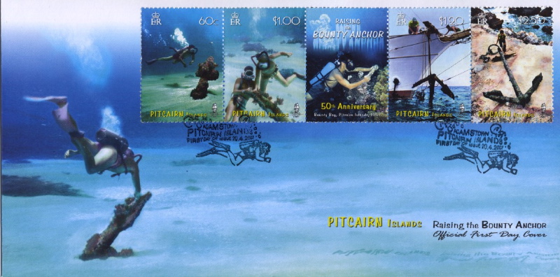
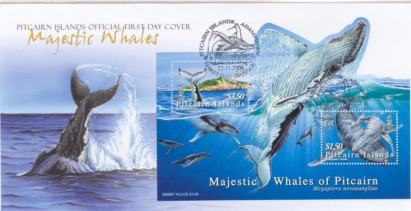
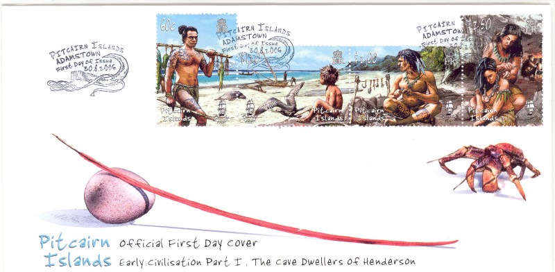
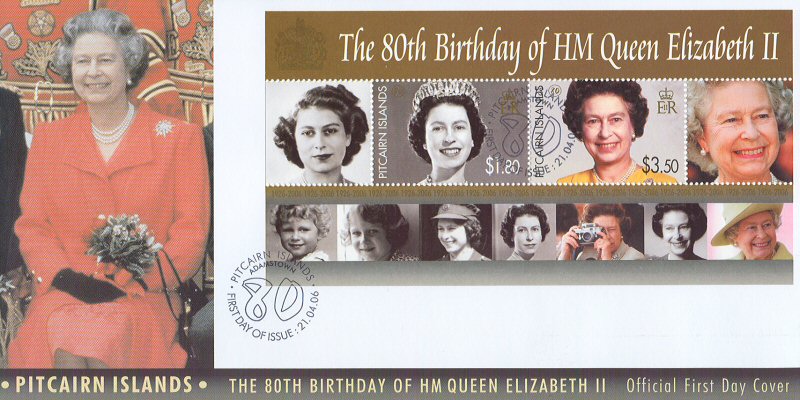
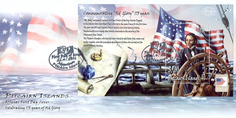
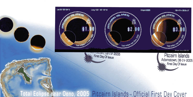
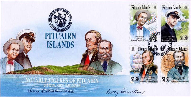
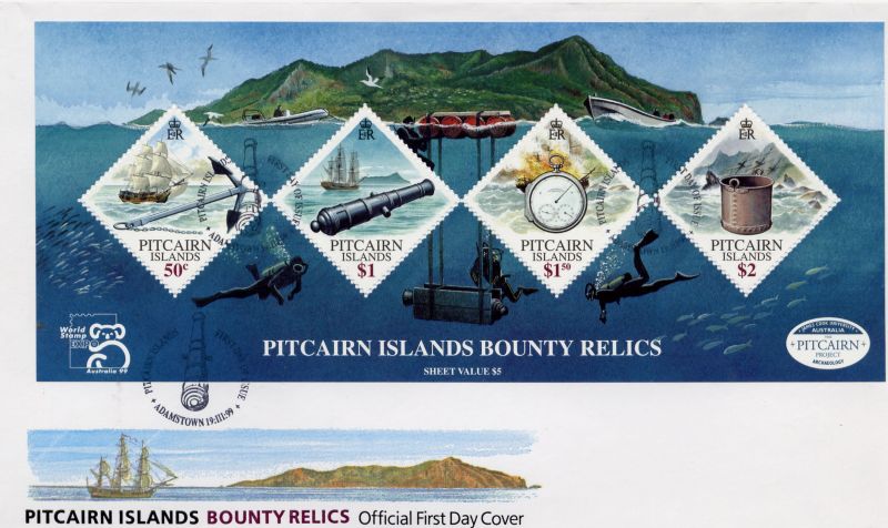
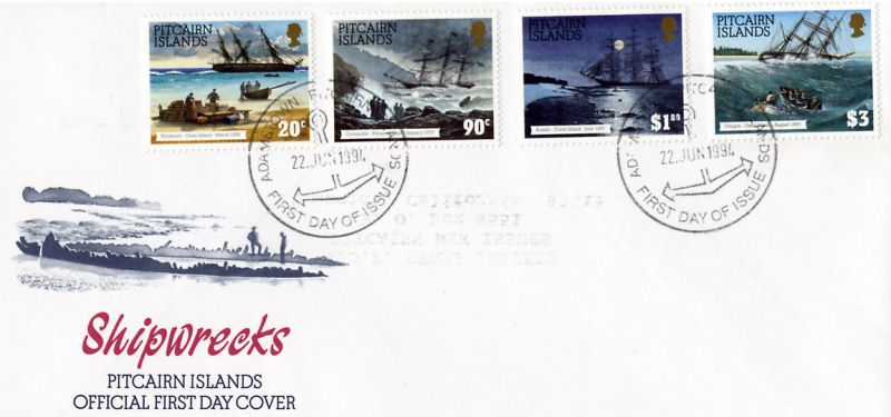
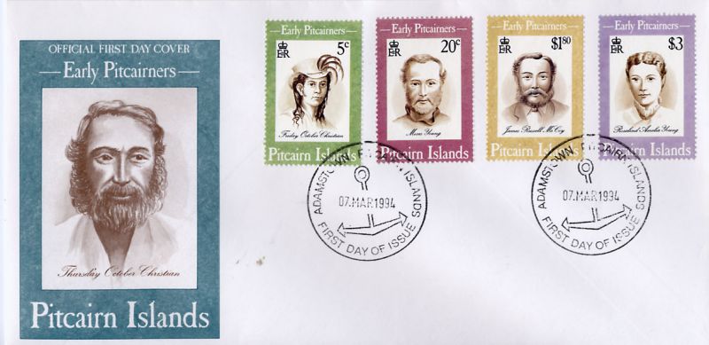
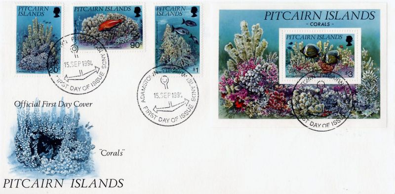
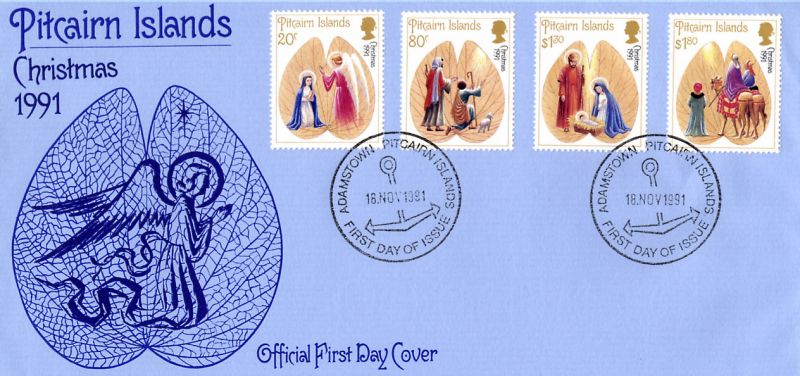
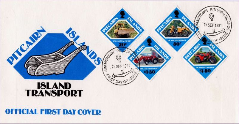
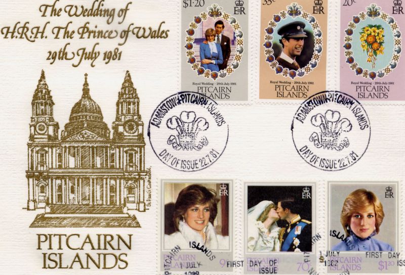
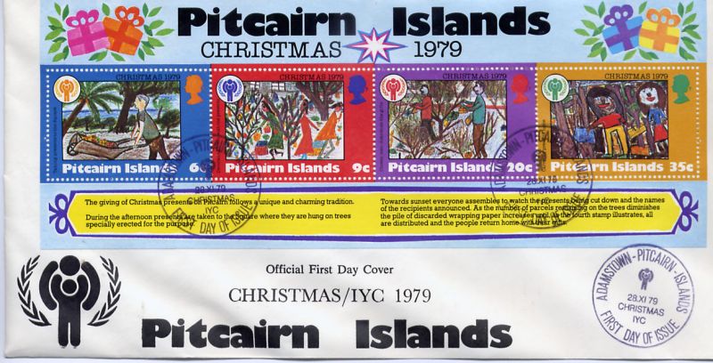
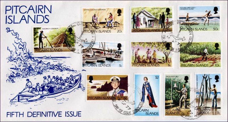
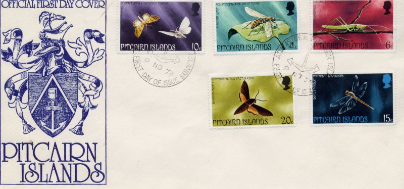
Through the years since the first definitive issue of Pitcairn stamps was released in 1940, the philately of Pitcairn Island has enjoyed a much-sought-after status among stamp collectors throughout the world.
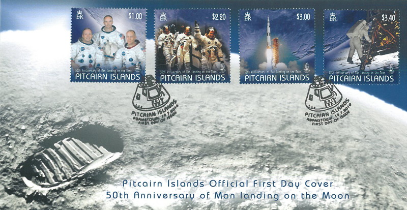
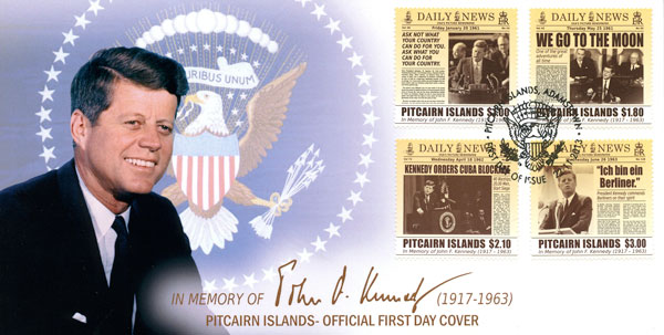
Man Landing On The Moon

"That's one small step for man, one giant leap for mankind" announced Commander Neil Armstrong as he stepped onto the lunar surface and became the first person to achieve this feat.
Apollo 11 was the spaceflight that took the first manned space craft to the Moon, and the two-man crew of Armstrong and Edwin (Buzz) Aldrin completed the mission on July 20, 1969, by landing on the Moon's surface in the lunar module Eagle.
Aldrin was the module's pilot and they flew to the Moon with Michael Collins who handled the command module Columbia. Collins kept the module in orbit while his colleagues were on the moon's surface for twenty-one and a half hours.
Armstrong stepped onto the surface on July 21st and Aldrin joined him 19 minutes later. They spent two and a quarter hours collecting 21.5 kg of lunar material to bring back to Earth.
Apollo 11 was launched by a Saturn V rocket from Kennedy Space Center in Florida on July 16, and was the fifth crewed mission of NASA's Apollo program. After traveling to the Moon by the Saturn V's third state, the astronauts separated the spacecraft from it and travelled for three days until they entered lunar orbit. Armstrong and Aldrin then moved into Eagle and landed in the Sea of Tranquility. The astronauts used Eagle's ascent state to lift off from the lunar surface and re-join Collins in the command module. They jettisoned Eagle before they performed the maneuvers that propelled them out of the lunar orbit on a trajectory back to Earth. They returned to Earth and splashed down in the Pacific Ocean on July 24 after more than eight days in space.
Armstrong's first step onto the lunar surface was broadcast on live television to a worldwide audience of over 500 million. Apollo 11 effectively ended the Space Race and fulfilled a national goal proposed in 1961 by President John F. Kennedy: "before this decade is out, of landing a man on the Moon and returning him safely to the Earth."
Footnotes:
- The first human-made object to reach the surface of the Moon was the Soviet Union's Luna 2 mission on 13 September 1959. The United States' Apollo 11 was the first crewed mission to landon the Moon, on 20 July 1969. There have been six crewed U.S. landings (between 1969 and 172) and numerous un-crewed landings, with no soft landings happening from 22 August 1976, until 14 December 2013.
- Neil Alden Armstrong was an American astronaut and aeronautical engineer. He was also a naval aviator, test pilot and university professor. He was born in 1930 and died in 2012 aged 82.
Buzz Aldrin was an engineer and a former astronaut and fighter pilot. He is a retired major general of the United States Air Force Reserves. Selected as part of the third group of fourteen astronauts in 1963, he flew into space twice. He is one of 24 people to have flown to the Moon.
“Man Landing on the Moon” Issue Collector’s Notes:
- Designer of the stamps is Denise Durkin, Wellington, New Zealand
- Printer of the stamps is Southern Colour Print, Dunedin, New Zealand.
- Process used to print the stamps is Offset Litho.
- Size of the stamps is 36.9mm x 37.5mm horizontal.
- Format of the stamps is four single stamps.
- Denominations of the stamps: $1.00, $2.20, $3.00, and $3.40.
- Paper on which the stamps are printed is 104gsm Tullis Russell Yellow/Green phosphor gummed stamp paper.
- Period of Sale of the stamps is 19 July 2019 for a period of two years.
Pitcairn Stamp Issues
(Click small stamp images to see larger views.) Below is a listing of all Pitcairn stamps issued since 1940 when Pitcairn Island began issuing its own stamps
|
|